cyclopaedia.org
Sacred Geography 1716
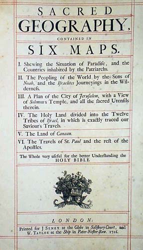
click here for an enlargement (873x1521 pixels)
Map I. Shewing the Situation of Paradise, and the Countries inhabited by the Patriarchs.
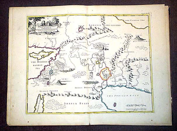
click here for an enlargement (2611x2177 pixels)
Map II. The Peopling of the World by the Sons of Noah, and the Israelites Journeyings in the Wilderness.
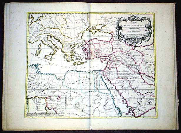
click here for an enlargement (2531x2131 pixels)
Map IV. A Map of the HOLY LAND, Divided into the XII Tribes of ISRAEL, wherein is Exactly Mark'd Ye travels of IESUS CHRIST.
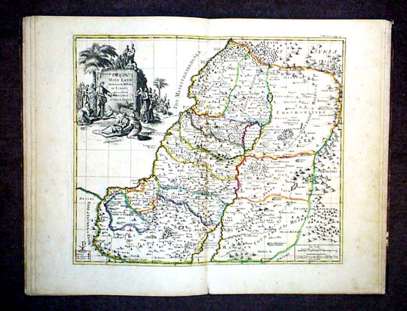
click here for an enlargement (2551x2101 pixels)
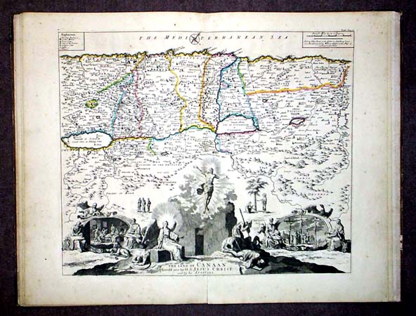
Map V. The Land of CANAAN
click here for an enlargement (2556x2141 pixels)
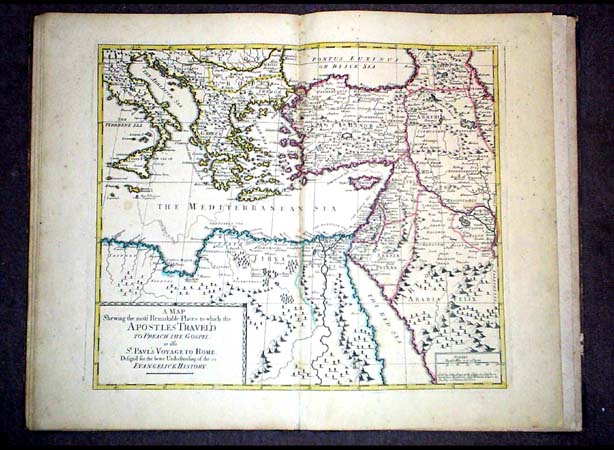
Map VI. A MAP Shewing the most Remarkable Places to which the APOSTLES TRAVEL'D TO PREACH THE GOSPEL: as also St. PAVL'S VOYAGE TO ROME. Design'd for the better Understanding of the EVANGELICK HISTORY
click here for an enlargement (2527x2119 pixels)
A collection of 5 (of 6) handcoloured large folio Maps (14 x 17 inches} in very good condition, in their original Leather Folder
Title Details: Sacred geography, contained in six maps.
I. Shewing the situation of Paradise and the countries inhabited by the Patriarchs.
II. The peopling of the world by the sons of Noah, and the Israelites journeyings in the wilderness.
III. A plan of the city of Jerusalem (this map is missing)
IV. The Holy land ...
V. The land of Canaan.
VI. The travels of St. Paul ... The whole very useful for the better understanding the Holy Bible
Publisher: London : printed for J Senex at the Globe in Salisbury Court, and W. Taylor at the Ship in Pater-Noster-Row. 1716
Physical desc.: [4] p., plates ; 2o
For further details Please contact DONALD VEAR
Click on this link to see a complete list of my CYCLOPAEDIA page links
l.a.miller@mail.pf


