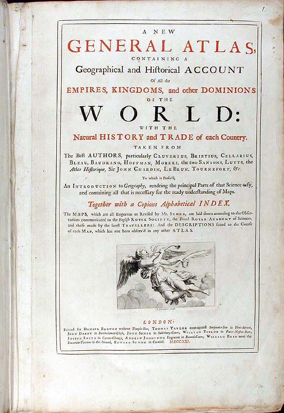
Title Details: A new general atlas, containing a geographical and historical account of all the empires, kingdoms, and other dominions of the world : with the natural history and trade of each country : taken from the best authors, particularly Cluverius, Brietius, Cellarius, Bleau ... : to which is prefixed, an introduction to geography, rendering the principal parts of that science easy, and containing all that is necessary for the ready understanding of maps : together with a copious alphabetical index : the maps, which are all engraven or revised by Mr. Senex, are laid down according to the observations communicated to the English Royal Society ... ; and the descriptions suited to the course of each map, which has not been observed in any other atlas
Publisher:London : printed for Daniel Browne, Thomas Taylor, John Darby, John Senex, William Taylor [and 4 others in London], 1721
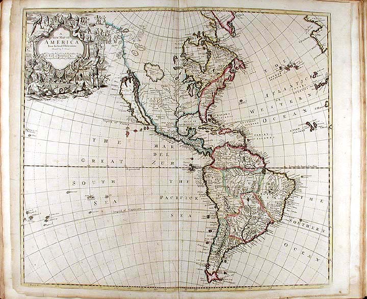
SENEX, John (d. 1740) London: printed for Danile Browne, Thomas Taylor, John Darby, [etc.], 1721. Folio. (20 3/4 x 13 /34 inches). Mounted on guards throughout. Title printed in red and black with engraved vignette, 3pp. letterpress list of subscribers. 34 engraved double-page maps and town plans (comprising: 31 maps, all hand-coloured in outline, and 3 uncoloured town plans), 14pp. engraved coats-of-arms of the subscribers. (Some old creasing, light spotting and a few neat old repairs to versos of maps). 18th-century marbled calf expertly rebacked to style, covers gilt fillet border, spine in eight compartments with raised bands, red morcco lettering-piece in the second compartment, the others with repeat decoration of stylised flower and foliage corner-pieces surrounding a lozenge-shaped area tooled with various small tools including crowns and flowerheads, comb-marbled endpapers. A fine subscriber's copy of an atlas which Sabin notes is 'chiefly interesting for the copiousness of its information concerning America'. A fine complete copy of this great atlas, which besides the excellent maps and town plans, includes 393 erratically numbered pages of highly informative and historically important text. The maps of American interest are titled as follows: 1. 'A New Map of America.. I.Senex.. I.Harris Fecit' (North and South America). 2. 'A New Map of the English Empire in America.. Ion. Senex 1719.. I.Harris sculp.' (Newfoundland in the north, to the tip of Florida, west to the Mississippi). 3. 'A New Map of Virginia and Maryland And Improved Parts of Pennsylvania & New Jersey.. 1719.. I.Senex'. 4. 'A New Map of the English Empire in the Ocean of America or West Indies.. I.Senex.. A New Map of the Island of Jamaica.' (Jamaica, Barbados, Bermuda, Tobago, Antigua and 'Christophers'). 5. 'A Map of Louisiana and the River Mississippi by John Senex' (Gulf of Mexico to the Great Lakes) 6. 'A Drafft of the Golden & Adjacent Islands, with part of ye Isthmus of Darien as it was taken by Capt. Ienefer.. a New Map of ye Isthmus of Darien in America. the Bay of Panama, The Gulf of Vallona'. Phillips Atlases 563; Sabin 79124 [New York, NY, U.S.A.]
| return to John Senex 1678-1740 | Go to Paradise Islands |